Geospatial Surveyor
Murphy Geospatial
The Role
Overview
Collect and process geospatial survey data using total stations, GNSS, laser scanning, and UAVs.
Key Responsibilities
- workflow standards
- point cloud
- survey capture
- mentoring
- topographic survey
- project delivery
Tasks
-Apply Murphy Geospatial’s workflows and standards across all project stages. -Support registration and publishing of point clouds using industry software. -Assist with survey capture using Total Stations, GNSS, laser scanning (TLS/SLAM), and UAVs. -Work closely with senior surveyors and receive mentoring to develop your expertise. -Contribute to topographical, engineering, and monitoring surveys. -Deliver projects safely, to budget, and on time.
Requirements
- surveying
- geomatics
- autocad
- civil 3d
- eu licence
- team player
What You Bring
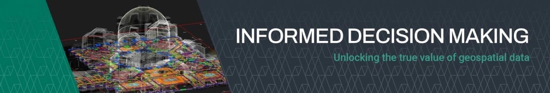
Murphy Geospatial HR Philosophy Murphy Geospatial captures, collates, verifies and governs geospatial data, enabling our clients to make informed decisions across the project lifecycle. Proven geospatial solutions through design, construction and in use phases of projects across six key sectors; Infrastructure, Manufacturing, Energy, Utilities, Property and Natural Environment. We are seeking Geospatial Surveyors to join our growing Cork team. This is an excellent opportunity to gain hands-on experience across the full lifecycle of projects, working with cutting-edge technologies and building a career pathway towards senior surveyor roles. -Ideally 1–2 years’ experience for junior positions and 4-5 years’ experience for experienced positions (placements, internships, or work experience also considered). -Qualification in Surveying, Geomatics, Civil Engineering, or related field. -Full clean EU driving licence; Safe Pass card (or willingness to obtain). -Experience with Microsoft Office and basic CAD (AutoCAD, Civil 3D) advantageous. -Team player with excellent communication skills. -Organised, with the ability to meet deadlines under pressure. -Strong technical knowledge and eagerness to learn new geospatial methods. -Right to work in Ireland.
People Also Searched For
Information Manager jobs in Cork , Munster , IE
Technical Director jobs in Cork , Munster , IE
Asset Manager jobs in Cork , Munster , IE
Information Manager jobs in Munster , IE
Technical Director jobs in Munster , IE
Asset Manager jobs in Munster , IE
Information Manager jobs in Cork , IE
Technical Director jobs in Cork , IE
Asset Manager jobs in Cork , IE
Benefits
Would you like to be part of our winning team and get the opportunity to work on a variety of high profile projects across the UK, Europe and the US? Want a role with constant opportunity for upskilling and progression? Founded in 1983, our highly developed workflows have been refined through the delivery of over 27,000 projects over 40 years. The Murphy Geospatial and Woolpert union enables numerous career growth and training opportunities within the business. -Companywide Social Events -Breadth of Experience: We branch across all sectors of industry giving our staff opportunities to gain a broad base of knowledge and experience. -Education assistance and career development -Early Friday finish -Death in Service scheme -Cycle to work scheme -Service Awards -Annual salary review -Referral Bonus -Employee Assistance Program; Including Wellbeing -Principal program: Earn the opportunity to become an owner of the firm. -Exclusive Clients: We are proud to work with a broad spectrum of exclusive clients. -Company Vehicle -Access to a pension scheme which includes company contribution after 1 years' service -Competitive basic package plus benefits -Support network: We pride ourselves on our excellent support network of employees and management who are always eager to help each other. -Allowance payments when working away
The Company
About Murphy Geospatial
-Its expertise spans infrastructure, construction, utility networks, manufacturing sites, and natural environment assessments. -It pioneers advanced tools such as GeoDrive, laser scanning, subsurface engineering, and 3D digital twin development. -Clients benefit from end-to-end geospatial services, including aerial/drone surveys, topographic and property surveys, BIM, asset monitoring, and GIS. -The company’s GeoDrive technology offers cost-effective and highly detailed data collection solutions. -They seamlessly integrate traditional surveying techniques with cutting-edge reality capture and digital twin technologies to drive data-driven decision-making.
Sector Specialisms
Infrastructure
Manufacturing
Utilities
Property
Energy
Natural Environment
Commercial
Residential
Logistics
Retail
Industrial