Geospatial Consultant
Murphy Geospatial
The Role
Overview
Geospatial Consultant providing sales support, tender prep, client liaison.
Key Responsibilities
- workflow optimisation
- innovative tech
- geo-cert platform
- tender management
- technical leadership
- quality management
Tasks
-Ensuring alignment with MGS Vision and Values – Respect, Innovation, Community, and Integrity -Promoting a safety culture and ensuring any learnings from near misses or accidents are pre-empted or prevented going forward -Ensuring Client expectations are met with MGS validated output and care -Reviewing and optimising estimated workflows for each service proposal -Facilitating business growth by collaborating with clients as well as business partners (suppliers, subcontractors, JV partners, technology providers, etc.) -Reviewing Weekly Operation Status report and create lessons learned -Discovering and implementing innovative technologies that yield competitive advantage -Taking ownership of client feedback process to incorporate into process improvements -Consulting with client Representatives – maintaining & earning trust of clients through our expertise and knowledge -Ensuring compliance with all current regulations and internal policies on sales proposals -Supporting and implementation of our “Geo-Cert” Platform -Reviewing, understanding & requesting further information or clarifications on tender scope documents -Consulting and supporting clients on Geospatial best practice and Methodology -Compiling and managing tenders and quotations. -Providing leadership to clients, staff and department in technology and technical related questions -Evaluating and implementing new workflows; Help department use technology profitably -Validating and Controlling project scope, Quality Management, Risk Management as well as plan out stakeholder engagement.
Requirements
- autocad
- geomatics degree
- 3+ years
- uk licence
- problem solving
- data management
What You Bring
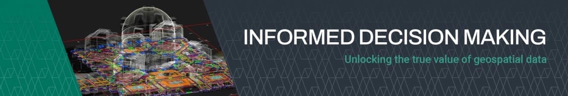
Murphy Geospatial captures, collates, verifies and governs geospatial data, enabling our clients to make informed decisions across the project lifecycle. Proven geospatial solutions through design, construction and inuse phases of projects across six key sectors; Infrastructure, Manufacturing, Energy, Utilities, Property and Natural Environment. -Skills that enable collaboration and communication, including the use of Microsoft Office & AutoCAD suites -Self-Starting and willing to learn -Commercially savvy with an understanding of financials and deadlines. -Geomatics or Civil Engineering degree level preferred. -Able to comply with deadlines and delivery dates -Interpersonal Skills -Strong understanding of geospatial technologies and data management -A minimum of 3+ years’ experience in the geospatial/surveying industry. -Innovative & technically aware -Possess a full clean UK driving licence (manual transmission). -Ability to communicate technical information effectively. -Problem-solving and innovation -Technical excellence and attention to detail -Client-focused communication -Technical expertise on project matters relating to spatial data – differentiating roles accordingly -The right to work in the UK. -Understanding of all MGS offerings with ability to recognise further service opportunities
People Also Searched For
Quantity Surveyor jobs in Wolverhampton , West Midlands , UK
Ecologist jobs in Wolverhampton , West Midlands , UK
Environmental Consultant jobs in Wolverhampton , West Midlands , UK
Quantity Surveyor jobs in West Midlands , UK
Ecologist jobs in West Midlands , UK
Environmental Consultant jobs in West Midlands , UK
Quantity Surveyor jobs in Wolverhampton , UK
Ecologist jobs in Wolverhampton , UK
Environmental Consultant jobs in Wolverhampton , UK
Benefits
Founded in 1983, our highly developed workflows have been refined through the delivery of over 27,000 projects over 40 years. The Murphy Geospatial and Woolpert union enables numerous career growth and training opportunities within the business. Client relationship Management Support Would you like to be part of our winning team and get the opportunity to work on a variety of high-profile projects across the UK and Europe? Want a role with constant opportunity for upskilling and progression?
The Company
About Murphy Geospatial
-Its expertise spans infrastructure, construction, utility networks, manufacturing sites, and natural environment assessments. -It pioneers advanced tools such as GeoDrive, laser scanning, subsurface engineering, and 3D digital twin development. -Clients benefit from end-to-end geospatial services, including aerial/drone surveys, topographic and property surveys, BIM, asset monitoring, and GIS. -The company’s GeoDrive technology offers cost-effective and highly detailed data collection solutions. -They seamlessly integrate traditional surveying techniques with cutting-edge reality capture and digital twin technologies to drive data-driven decision-making.
Sector Specialisms
Infrastructure
Manufacturing
Utilities
Property
Energy
Natural Environment
Commercial
Residential
Logistics
Retail
Industrial